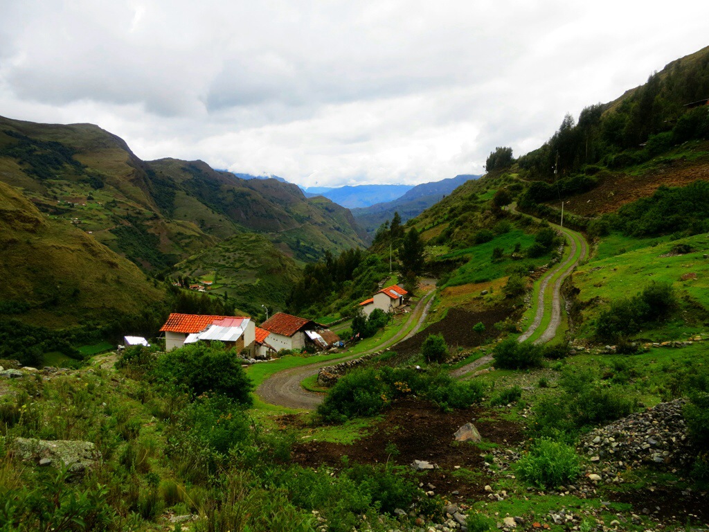
Ahh Huaraz. We arrived with the intention of doing some serious hiking, and after a couple sunny days and some successful day hikes, we decided to take the chance, brave the weather, and take on the fabled Santa Cruz Trek. Now the website for the Cordillera Blanca will tell you that you have to have a guide for the trek, however after consulting with the hostel owner it was determined that we could indeed hike independently. He recommended we hike in the reverse direction to what is usual in order to prevent overlap with hikes we had already done and as well as to aid in return transportation. The original trek is a 4 day 3 night hike up one valley, through a pass and then down an adjacent valley. Since we had already hiked the lower section of the first valley to go to Lago 69 and with time pressing a bit to get Julie back to Lima for her return flight, we opted to start a little closer to the Punto Union pass in the town of Vaqueria.
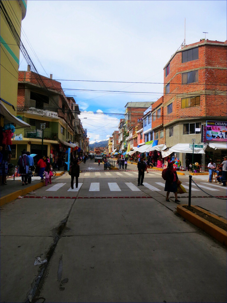
From Huaraz, we took a collectivo at 5:30AM a couple hours north to the town of Yunguy. From there we transferred directly onto another collectivo heading into the Cordillera Blanca. This collectivo, which is just a hired van whose fares are paid collectively by the passengers, was a true work of art. I believe the whole thing, like most of South America, was held together by adhesive tape and wire, and boy did it get a workout on the winding, pothole riddled roads. The rear left quarter panel had approximately 6 inches of horizontal play while the rear cargo door was held together with 2 of the original 4 bolts that held it on. The remaining spaces were conveniently left open to allow for ventilation and precipitation to enter and fall upon a very uncomfortable Holly. This ride easily takes the cake for “Roughest Ride” award and that is saying a lot. Along the way, the van stopped at the main entrance to the valley so we could pay our S/65.00 multi-day park fees and grab some fried bread and a hot quinoa drink. Aside from the unexpected breakfast, the saving grace of this ride, however, was that it cost us less than $15USD total to transfer we three gringos from our hostel in Huaraz to the trail head.

Exciting picture, I know.
With our bags packed with plenty of food, fuel, and chocolate bars for the 4 days, Holly, Julie, and I set out into nothing less than another bright yet overcast Peruvian day. Getting dropped of in Vaqueria was easy enough, however navigating to the trail was a little different. The local people use the trail also to herd livestock around and this leads to a whole variety of little paths that branch off of the main one with no signal or sign that you are deviating. After a couple false starts and plenty of help from the grinning locals, we managed to get to the trail proper and began our accent up the valley. The first day was pretty classic rainy season and was punctuated by various fits of rain and only spots of fleeting blue.
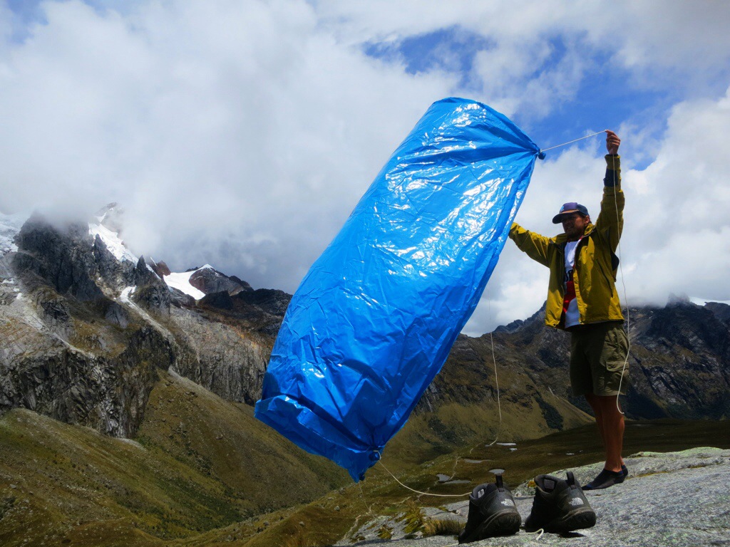
But don’t get me wrong, this was head and shoulders above our adventure around Salkantay. The scenery was incredible and it was clear enough to experience the views. From Vaqueria to the trail head/checkpoint took us about 2 hours followed by another 2 hours to get to camp. An early start lead to an early camp and we were at the site by 4PM. The site was sufficiently wet and littered with cows, but we happened to arrive when it was relatively clear and sunny. We decided to wait a little to set up camp in order to dry out and enjoy the scenery. I played around with a plastic tarp I had brought and tried to make a little rain/sun shelter.


During this, the skies turned dark and the rain came. The weather seemed to have a funny way of passing over us, treating us to a little sun, and then returning. I think the air currents in the valley were making big circles and dumping on us several times. It might have been in my head, but I seem to remember one specific instance where a storm came from up the valley to camp. We had yet to set up tents so we all huddled under ponchos/tarps for about 20 minutes. After it stopped I looked down the valley to see the same mass of black clouds rolling back up hill to serve us again. Anyways, it rained. After a period of time under cover, Julie yelled that we should set up her single person tent quickly and all get in there in order to make it slightly more comfortable. So we did this. Holly and I are by no means small people, and with Julie made the one person tent seem like a clown car.
We waited it out, set up camp during a stretch of sun, and eventually moved to my larger two person tent in the next spell of moisture. It rained for most of the night but we woke to clear-ish skies and took a quick breakfast. Day two proceeded very much like the first with scattered, high altitude showers until about mid-day when we hit the top of the valley and started working up to the pass. We stopped on a large rock before the Punto Union approach and rested to dry our tents and selves.


Shortly after this, a heavy mist set in, and as we gained altitude this turned into frozen mist which made scrambling a little challenging. At length, and I think towards the end of Julie’s patience, we topped out at Punto Union pass to some awesome views of Navada Taulliraju, the Santa Cruz Valley, and Lago Taullicocha. We took some celebratory pictures, had a snack/view break, and then started down before cooling off too much.


About halfway to camp, we noticed clouds starting to build up around the peaks we had just left, so we picked up the pace in order to make it to camp before they met us. This pace was insufficient and we wound up getting dumped on again. We did however make it to camp, set up, and with the views from Punto Union fresh in our minds felt a lot better about our choice to do the hike. That night, while huddled in my tent to avoid yet another rain fit, we decided to cut the trip a day short to avoid being wet and to help maintain our sanity. Camp was again a preferred grazing grounds for the local livestock which made sleeping a little nerve-racking but it came easy none the less. When it wasn’t raining, the stars were incredible and the bright night sky silhouetted the mountains around us.  The next day, we woke up to clear skies and good views of the surrounding peaks. We took breakfast and a cow took Julies trail mix while slobbering all over Holly’s sleeping pad and my tarp/poncho, but this was of no worry. The weather, coupled with our decision to go directly down instead of taking a side trek, was enough to make us all giddy and the downhill hiking came easy. This was the general attitude until about lunch time when we realized that our out hike, which we thought was going to be about 5 hours, was really going to be closer to 9. None of the checkpoints had any maps so we pretty much went into the hike with only a rough idea of distances, elevations, and camp sites. This turned out to be a real spirit breaker on the last day when we thought the end lay behind every devastatingly beautiful corner. After 6 hours of hiking, we broke through some altitude barrier that had previously been keeping the bugs at bay, and for the last few hours we were molested continuously by the little black devils which were some species of sandfly. They were so bad that you couldn’t really stop hiking or you’d be eaten alive, but we were all being stretched out by the longer than expected hike that all we wanted to do was rest. Those last two hours were a little rough on all of us, but we finally made it down to our exit point in Cachapampa and caught a cab from there to Caraz (S/20).


It was only in this cab ride that we got to see where we had been hiking and discovered why they called it Quebrada de Santa Cruz instead of Valle de Santa Cruz. From the outside perspective, it looks as if the mountain had been split and left broken (quebrada) instead of eroded. This was one of my favorite drives we did in Peru. The low afternoon light and the dramatic cloud cover really set off the area and was truly awesome. If/when I return to Peru, I will be spending the majority of my time in Huaraz and the Cordilleras. It was just that good.

Pingback: Huaraz | Routes Not Found·