After many weeks under the gaze of the great Volcan Cotacachi , Holly and I decided it was finally time to give it a go and try to summit the beast. Looking North from the farm, Cotacachi rises out of the Imbabura Province to an altitude of 4,944 meters above sea level. With a little research and the help of SummitPost, Holly, a friend Kaila, and I packed up and headed to Laguna Cuicocha to start the ascent. Everything we had read on SummitPost said that you could hike it alone, but when asking how to reach the antenna, the guard told us that in fact, no, we were not allowed to hike up past the lake and if wanted to we would have to have a certified mountain guide. So we said, “OK, no problem. We will just hike around the lake. (insert wink)” About an hour into the hike, the road up the antenna butts up along the trail, and with no signage to point us away, we ditched the trail for the road and started our ascent.
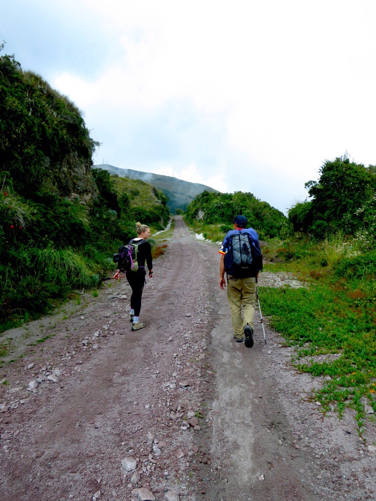 The road winds along the southern side of the volcano around a few large valleys with some great views of the province. (For the record, our friend Lukk hiked Cotacachi as well and said he found a trail that went directly above the antenna. This would be preferred to get of the road and keep it a little more interesting) The road leads straight up to the antenna and upon reaching them, we noticed two guards waving at us a saying, “Halo!” Upon reaching the one usable camp site, we were approached by the guards who asked what we were up to and if we had permission to be there. In the best spanish I could muster, I assured them we did indeed have permission and that we were going to camp for the night and climb in the morning. After they decided that we posed no security threat to the antenna, they told us to bundle up because it was going to be a cold night, but otherwise left us alone. Shortly after we had camp set up, it started to rain in spurts. We were able to enjoy a few breaks in the weather for some good views of the lake, but otherwise we settled in for a long night hoping for clearer skies in the morning.
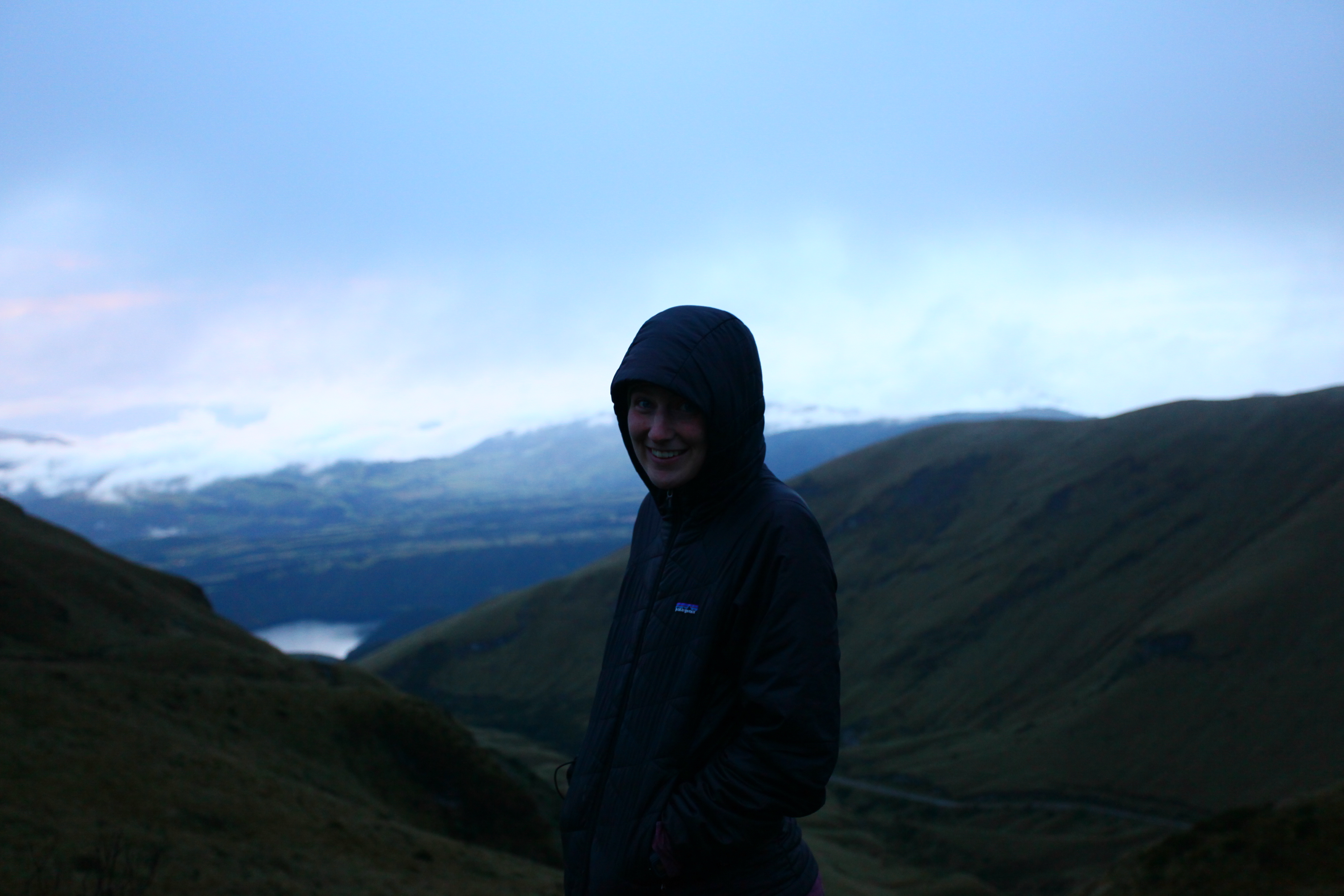
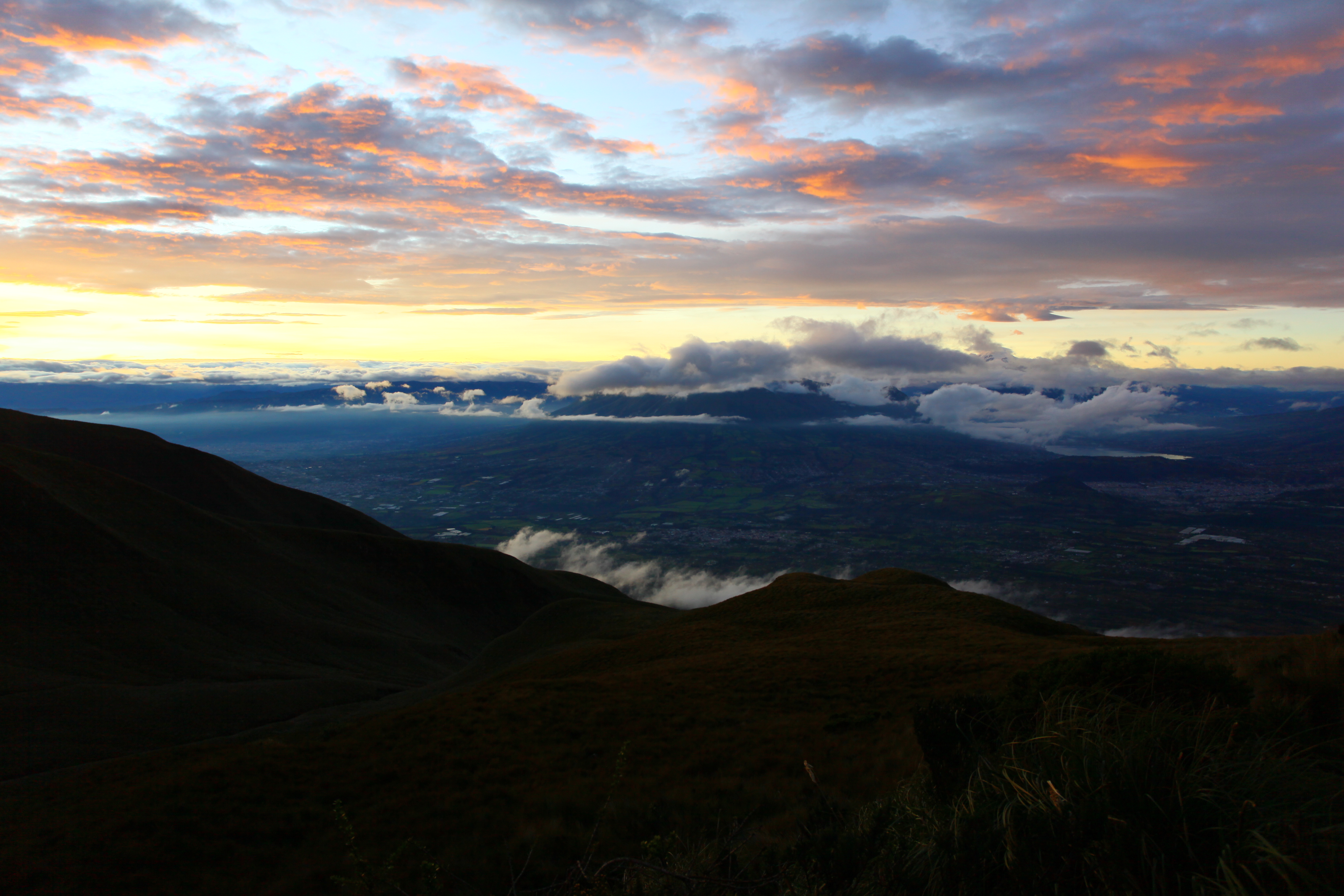
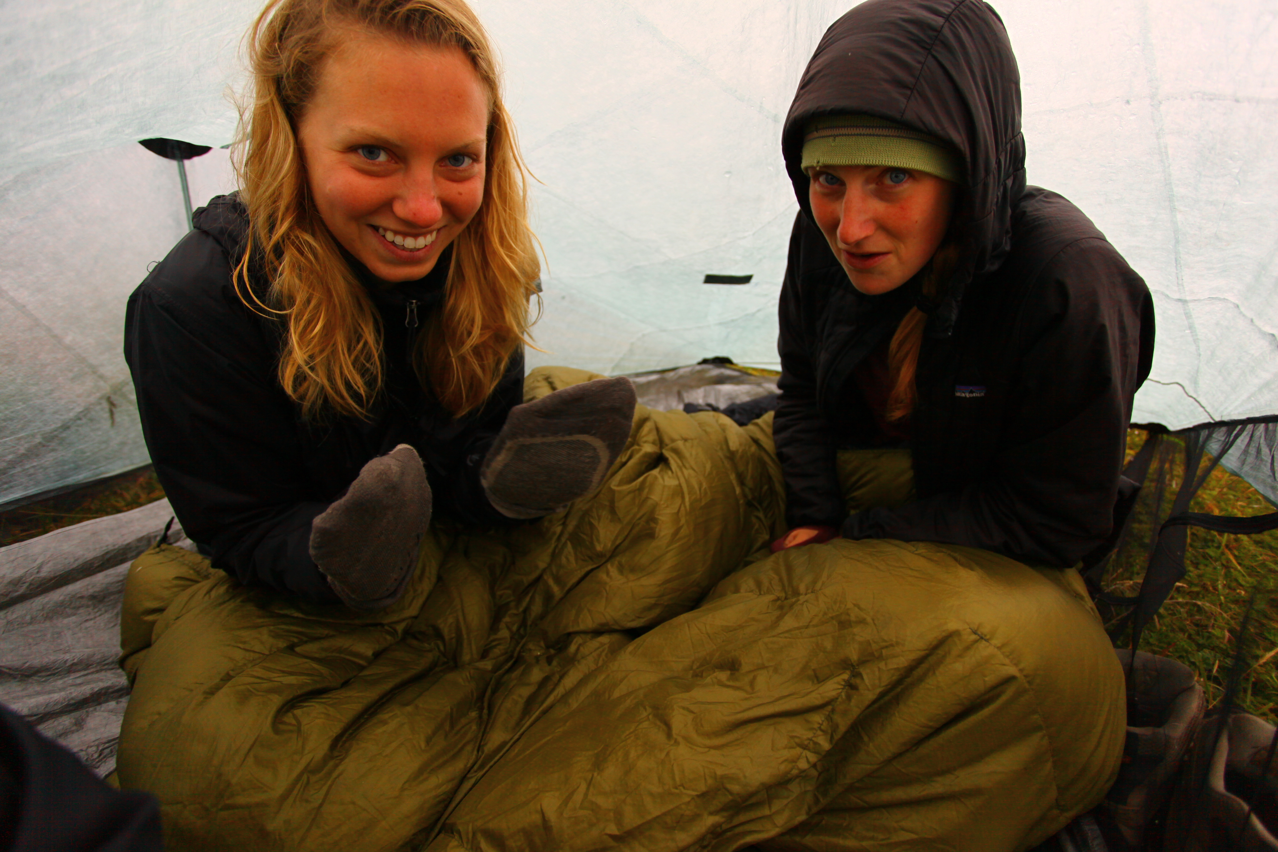 The night did prove to be pretty cold and the weather was not so great, but we stayed dry and plenty warm, seeing as we stuffed three people into a small two person tent. I don’t think any of us slept much, but at some point in the night we all woke up to clear night skies and some decent views of the glimmering towns below. We woke up around 5:30AM to catch sunrise and to get an early start on the summit. Sunrise proved to be the best part of the hike. We were lucky enough to see an incredible sunrise over the province and we had great views while taking breakfast. After breaking down camp. we started up towards the summit, and naturally the clouds came.
 The summit was visible for a few seconds at a time but was mostly socked in. We continued on up to a clearing which seemed to be the final staging area before the actual final ascent. At the clearing, it was certainly cloudy and the weather seemed threatening, so we decided to abandon the summit and head back. After failed attempts at Imbabura (2 as it would turn out), Pichincha, a cloudy one on Fuya Fuya, and various other weather related failures, we surely felt small and defeated by these extinct monsters. We turned back with heavy hearts to slog through the dense fog and impending rain constantly looking over our shoulders at the shrouded summit we would never know. This is a very bad practice because sometimes it clears up an hour after you start your decent, but Cotacatchi stayed hidden for the next few days. So we hiked down along the road to where we hopped back on the trail to what turned out to be a pretty busy Sunday. Lots of tour groups stared as we passed, looking sad with our hiking poles and packs probably thinking we were crazy for bringing so much stuff for a 4 hour jaunt around a lake. Little did they know.


